Disaster Risk Management
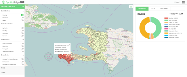
SpatialEdge makes results accessible to users who are not GIS experts.
SpatialEdge makes results accessible to users who are not GIS experts or lacks specialized GIS software to visualize the results, through an interactive web mapping platform using the latest web technology. This platform provides a snapshot of an executive dashboard describing the disaster event and visualize key indicators of damage and loss.


